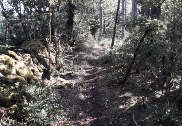
9.1 km | 14.4 km-effort
La tieule
philippe480
User
Length
10.9 km
Max alt
1016 m
Uphill gradient
379 m
Km-Effort
15.9 km
Min alt
850 m
Downhill gradient
368 m
Boucle
Yes
Creation date :
2019-05-12 08:23:42.383
Updated on :
2019-05-12 11:28:41.304
2h09
Difficulty : Very easy
FREE GPS app for hiking
About
Trail Walking of 10.9 km to be discovered at Occitania, Lozère, La Tieule. This trail is proposed by philippe480.
Positioning
Country:
France
Region :
Occitania
Department/Province :
Lozère
Municipality :
La Tieule
Location:
Unknown
Start:(Dec)
Start:(UTM)
512380 ; 4914533 (31T) N.
Comments
Trails nearby
Vers l'antenne de La Canourgue
Walking
Easy
Saint-Saturnin,
Occitania,
Lozère,
France
6.9 km | 8.8 km-effort
1h 42min
Yes
Ta dimanche
sport
Very easy
La Canourgue,
Occitania,
Lozère,
France
108 km | 142 km-effort
Unknown
No
La Tieule - Etoile par Le Maynard
Horseback riding
Difficult
La Tieule,
Occitania,
Lozère,
France
27 km | 37 km-effort
4h 53min
Yes
Etoile La Tieule par Rouge Parets
Horseback riding
Difficult
La Tieule,
Occitania,
Lozère,
France
26 km | 36 km-effort
4h 45min
Yes
Etoile de Coustaraços ( La Tieule par Meynard et Pertuzades)
Horseback riding
Very difficult
La Tieule,
Occitania,
Lozère,
France
29 km | 42 km-effort
5h 33min
Yes
Chemin de St Guilhem - La Tieule - Saint Georges de Lévéjac
Walking
Very difficult
La Tieule,
Occitania,
Lozère,
France
21 km | 28 km-effort
5h 56min
No
Grande Boucle Tieule/Canourgue/Champerboux/StEnimie/MasRouch/Tieule
Horseback riding
Very difficult
La Tieule,
Occitania,
Lozère,
France
91 km | 123 km-effort
15h 4min
Yes
Boucle La Canourgue/ La Tieule / Mas Rouch
Horseback riding
Very easy
La Tieule,
Occitania,
Lozère,
France
66 km | 91 km-effort
Unknown
Yes